Overview
With this 9-day Rwenzori mountain trekking safari, you’ll visit Uganda’s tallest mountain range, known for its summits that are always covered in snow. You must climb to Margherita Summit, the third-highest mountain in Africa and the highest peak in the range. The mountain ranges that make up Rwenzori Mountains National Park are home to more than 70 animals, 217 bird species, including 19 endemics to the Albertine Rift, and some of the rarest plant life on earth. While on this mountain Rwenzori trekking safari, there are a number of other activities to do in in addition to the challenging trip, such as visiting the nearby Bakonzo villages for nature hikes and interactions with the locals.
Trip Highlights
- Rare Wildlife
- Unique Vegetation
- The Rwenzori Snow Peaks
- The Rwenzori Lakes
Itinerary
Cost
Inclusions
- • Meals on the Itinerary.
- • Accommodation on the itinerary.
- • Pickup and Drop-off to/from the airport.
- • Ground transport.
- • Park entrance fees.
- • All activities on the itinerary.
- • Drinking water.
Exclusions
- • All optional activities.
- • All Shopping.
- • Tips.
- • Visas.
- • International air fares.
- • All alcoholic drinks.
- • Any personal laundry services.
- • Travel Insurance Cover.
FAQS
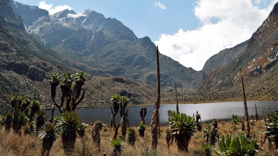
- In the upper altitude zones, the mountains are renowned for their distinctive alpine flora, which includes several species that are indigenous to the Albertine Rift, such as huge heathers, groundsels, and lobelias. The park is a significant piece of cultural history and provides surrounding people with a variety of wild resources.
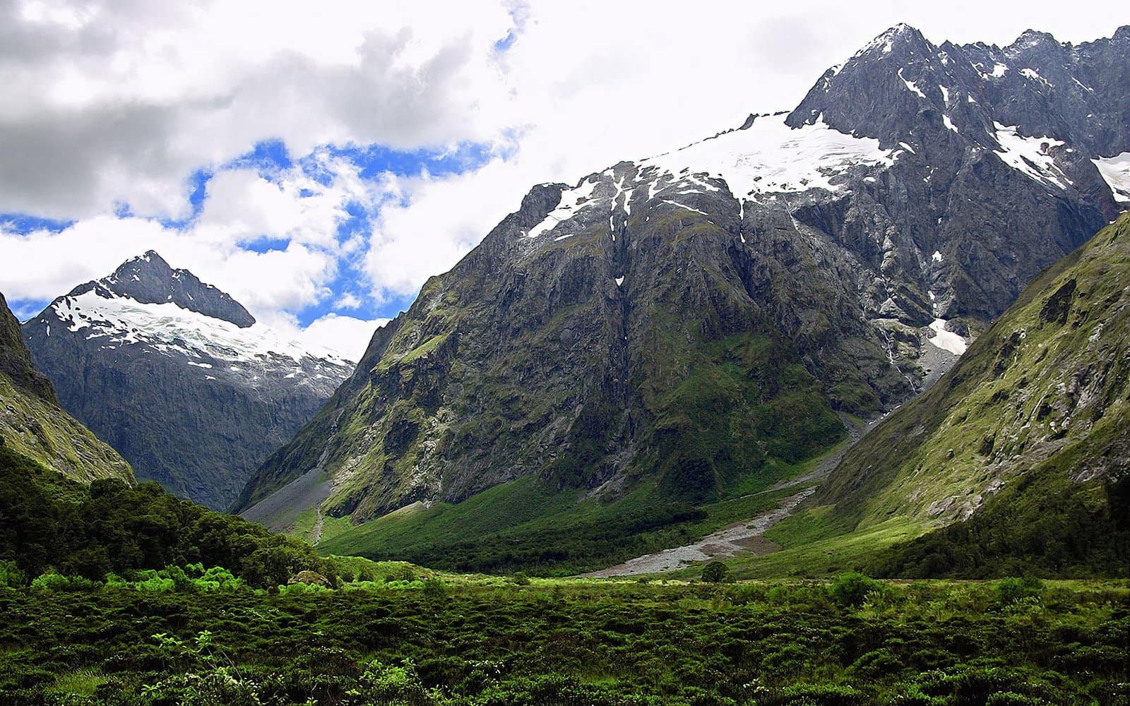
- Mountain Rwenzoris are covered in snow all year round since their highest summit soars to a height of 5,109 meters (16,762 feet). Due to its elevation, this area is always blanketed in snow.
- The Rwenzori Mountains’ snow-capped appearance is caused by a decrease in air pressure with elevation. While heated air rises, rising air also expands and cools. Greater amounts of moisture are produced by this mechanism in the atmosphere.
- One of the world’s most thrilling and difficult mountain ranges to travel is the Rwenzori Mountains. A mysterious and unique universe of 996 square kilometers exists, filled with exotic vegetation, lakes, rocky outcrops, cliffs, tall glaciers, and snow-capped peaks.
- The Rwenzori Mountains are the world’s tallest mountains that are neither volcanic nor orogenic. Three of the current African Great Lakes—Lake Albert, Lake Edward, and Lake George—were formed as a result of this uplift, which divided the paleolake Obweruka. The range is approximately 65 km (40 mi) wide and 120 km (75 mi) long.
- It takes a length of 6-8 days
- The locals called the mountains;” the Mountains of the Moon” because of their snow-capped summits.
- Ptolemy, an Alexandrian geographer, gave the Rwenzoris the moniker “Mountains of the Moon” in AD 150. On May 24, 1888, the explorer Henry Stanley plotted the Rwenzori. He gave it the name “Ruwenzori,” which is a native term that roughly translates to “Rain-Maker” or “Cloud-King.”
- There are five more glacial Mount Rwenzori summits that make up Mountain Rwenzori on top of Mount Stanley, which is 5,109 meters high. In the Democratic Republic of the Congo, they include Mount Speke (4,890 m), Mount Baker (4,844 m), Mount Gessi (4,715 m), Mount Luigi da Savoia (4,627 m), and Mount Emin (4,791 m).
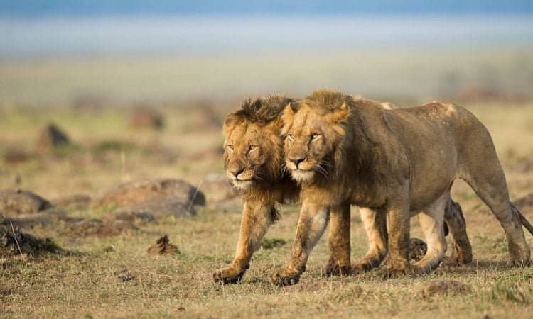
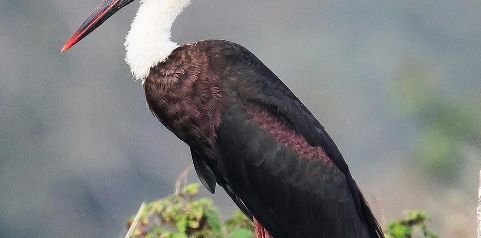
- The Rwenzori Mountains, on the other hand, have tourism attractions, just like any other national park in Uganda: Wildfowl; primates like blue monkeys, black & white colobus monkeys, and the endangered chimpanzees; six vegetation zones; lakes like Irene and Kitandara; birds like the renowned Rwenzori Turaco, among others.
- Margherita Peak
- In the shadow of three peaks, Mount Baker, Mount Speke, and Mount Stanley, Lake Bujuku is located at the top of the steep, glacier-carved Bujuku valley.


